

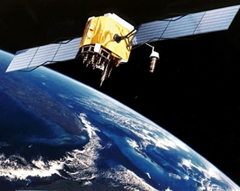
 A road map towards the launch of Ghana’s first satellite, Ghanasat 1, has been outlined by the Ghana Space Science and Technology Institute (GSSTI) and the Ghana Atomic Energy Commission (GAEC).
The project would be a joint venture between the State, GSSTI, GAEC and Menasat Gulf Group Public Limited Company, a UK-based producer of very high resolution (1m) synthetic aperture radar (SAR), a type of radar used for aerial imaging.
The three-phase project would begin with the establishment of a data centre in 2015, for receiving, processing and analysis of radar images from the COSMO-SkyMed satellite constellation of the Italian Space Agency.
Phase two would see the establishment of a ground direct receiving station and the final phase would be the satellite launch in 2020 and a facility for integration of the high resolution earth observation satellite constellation.
When complete, this endeavour would enable Ghana to obtain satellite images and other information of tropical regions. The information would be of significant use in areas such as security, risk management, maritime management, environmental monitoring, road transport, defence and intelligence.
Dr Nana Ama Browne Klutse, Manager of remote sensing at GSSTI and a research scientist at GAEC, said the data centre would reduce the cost on satellite image procurement and also boost the National Spatial Development Framework.
Professor Riccardo Maggiora, Chief Technology Officer of Menasat, said a low inclination orbit at a low altitude would enable a very short revisit time of 6 hours, which means that images could be taken of any particular place, four times a day.
He also demonstrated to stakeholders, the remarkable abilities of Menasat’s SARs.
Aside providing images through smoke, steam and clouds, they could measure tectonic and structure displacement rates which is useful for predicting landslides and building disasters.
Director General of GAEC, Professor Benjamin Jabez Botwe Nyarko said science and technology play a crucial role in development and unless efforts are channelled into it, there cannot be development.
“Science and technology are incentives for development. Unless this part is taken seriously, I am afraid we cannot go anywhere,” he said.
He also noted that satellites are very beneficial as they enhance our view of the earth exponentially.
Related Posts